Earlier this year, three British friends unexpectedly found ourselves walking the Shutoken shizen hodo (Metropolitan Area Nature Trail), better known as the Kanto fureai no michi (Kanto Friendship Trail).
The Kanto fureai no michi is a string of long-distance hiking courses that loops through the Kanto region prefectures of Tokyo, Saitama, Ibaraki, Tochigi, Gunma, Chiba, and Kanagawa. Course 1 on the official map for Kanagawa, the Miura Reef Path, was so inspiring that we convened regularly thereafter to continue along the trail. Before we knew it and summer holiday plans intervened, we had completed ten of the seventeen trails in our home prefecture, and the beautiful west coast of the Miura Peninsula was behind us.
Our journey along the Kanto fureai no michi was “unexpected” because although we are all keen walkers, the existence of the trail had been unknown to us. We only stumbled upon it when planning a walk to Jogashima, a small island off the southernmost tip of the Miura Peninsula. A great way to get to Jogashima, it turns out, is by walking the Miura Reef Path from Tsurugizaki. We were hooked.
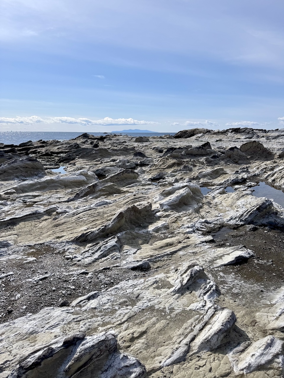
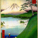
A section of the Miura Reef Path, with the island of Oshima visible on the horizon
National Trails
The Kanto fureai no michi is the (Tokyo) “Metropolitan Area” section of the Chokyori shizen hodo, a network of Long-Distance Nature Trails that extends over the length and breadth of Japan. The project, which is now over 50 years old, is overseen by the Ministry of Environment (MoE), while the trails and facilities are managed and maintained either by the MoE (in national parks) or by the prefectures and municipalities through which the trails pass. The local authorities are subsidized for costs incurred.
The initiative to formally establish long-distance nature trails in Japan was announced in 1969 at a time of soaring economic growth and rapid urbanization. The idea, ironic as it may sound, was to make access to nature easier, thereby connecting people with the countryside and raising awareness of the importance of environmental protection. For context, the present-day Japan National Trust was established at around the same time (1968), born from public petitions against urban sprawl and the loss of cherished scenery—a movement partly inspired by the United Kingdom’s National Trust. Likewise, the Chokyori shizen hodo project closely resembles the UK’s National Trails initiative, which also arose from concerns about postwar development. The first National Trail in the UK, the Pennine Way, opened sixty years ago, in 1965.
Japan’s national network of long-distance nature trails now comprises ten regional sections. Work on the first trail, the Tokai Nature Trail between Tokyo and Osaka, began in 1970 and was completed in 1974. The latest section to open, in 2019, is the Tohoku Pacific Coast Nature Trail (Michinoku Coastal Trail), one of the Green Reconstruction Project initiatives led by the MoE following the Great East Japan Earthquake and Tsunami of 2011. When the last planned stretch of the Hokkaido Nature Trail is completed, the Chokyori shizen hodo will have a total length of some 28,000 km.
Tackling the Trail
In common with the other regional trails, the Kanto fureai no michi has been mapped by the prefectural authorities to showcase the region’s natural and cultural landscapes, without demanding too much of the walker.
Almost all sections of the trail begin and end at a bus stop or train station. Most courses are about 10 kilometers long (a few are twice that length), take three or four hours to walk, and are of easy to moderate difficulty. Only one course scores 4 stars for toughness on the MoE website for the Kanto trail, that being the hike along the ridge of Mt. Bukka in Kanagawa Prefecture.
Officially, the Kanto fureai no michi starts and ends at a certain bus stop in the foothills of Mt. Takao in Hachioji, Tokyo, but sections can of course be tackled in any order. Walkers completing all of the hikes in a given prefecture may apply to the prefectural office for a certificate and badge, submitting selfies taken in the designated photo spots as proof. Hardcore hikers who complete all 160 sections of the Kanto trail can apply to the Metropolitan Area Nature Trail Liaison Council for certification and the award of a special commemorative badge.
For us, preparation for each hike begins a few days in advance with a look at the official course guide for Kanagawa (Japanese only; download the PDFs and work from there). In addition to showing the hiking route and elevations, the guide also identifies the train station closest to the hike starting point, the bus to catch on arrival at the train station, and the bus stop at which to disembark. We also consult the online public transport timetables and agree to arrive at the recommended train station in time for the departure of the chosen morning bus. (Before walking the Miura Reef Path, we also checked the Miura tide chart.)
An early morning start means the travel to the trailhead and the walk itself can usually be completed in time for lunch. The routes are mostly well signposted and, with the exception of one significant missed turn, our hikes to date have been largely trouble free.
The (beautiful) wrong way to Takatori-jinja (Kanagawa Course 8)
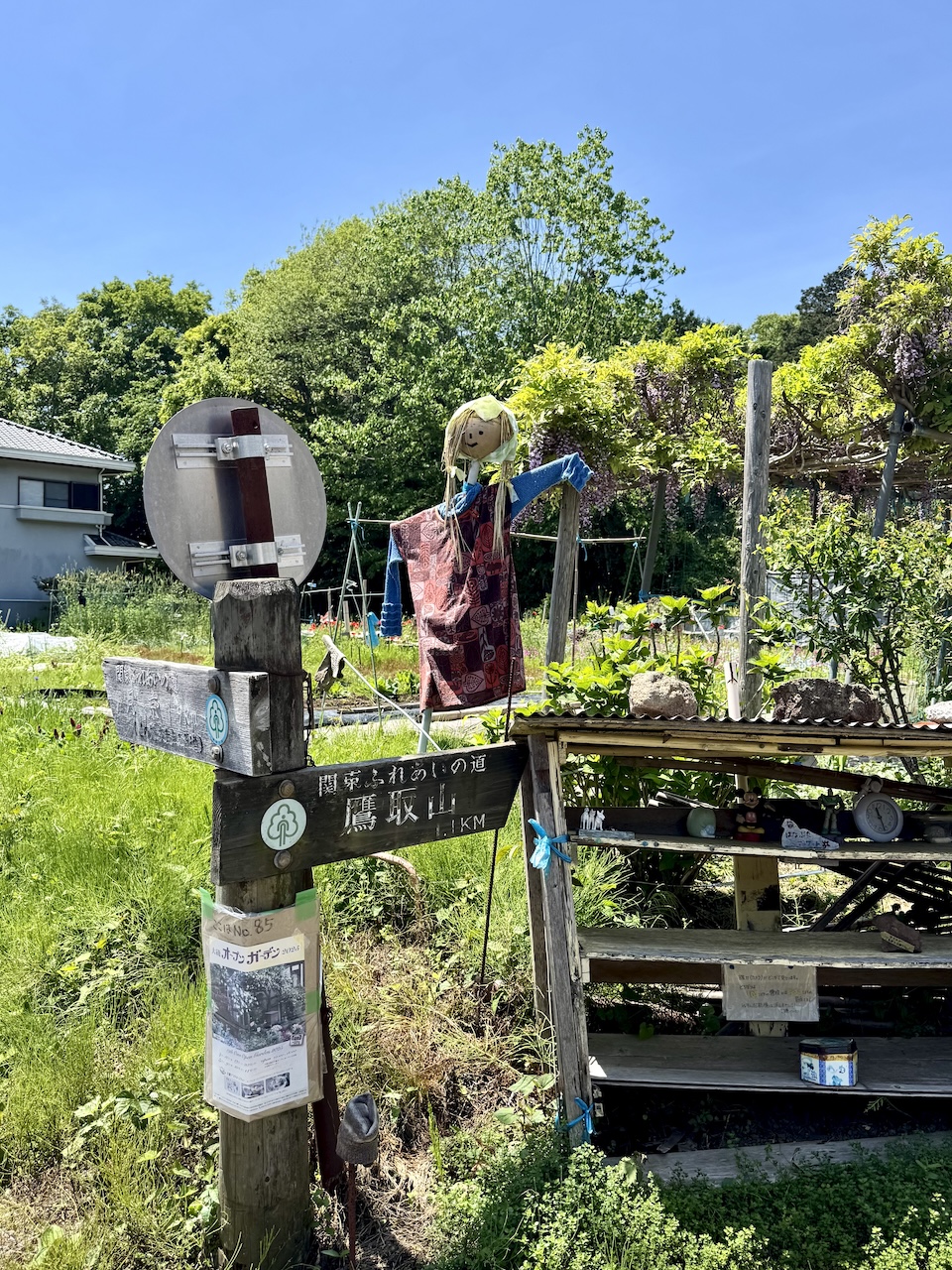
Some of the signposts on the Kanagawa courses are weathered and, in this case, on the wrong side of the pole. On Kanagawa Course 8, turn left here!
Fureai
The popular name for the Metropolitan Area trail, “Kanto fureai no michi,” is formally translated into English as “Kanto Friendship Trail,” but fureai has a more nuanced meaning than “friendship.” “Fureai” typically refers to the enabling of face-to-face interaction, often between people from different walks of life or in different age groups. The term can also be applied to the making of connections between people and animals, or people and places.
True to the motivation for launching the Chokyori shizen hodo initiative more than 50 years ago, the Kanto fureai no michi makes it easy for people in the metropolitan area to connect, or re-connect, with nature, and meet people along the way.
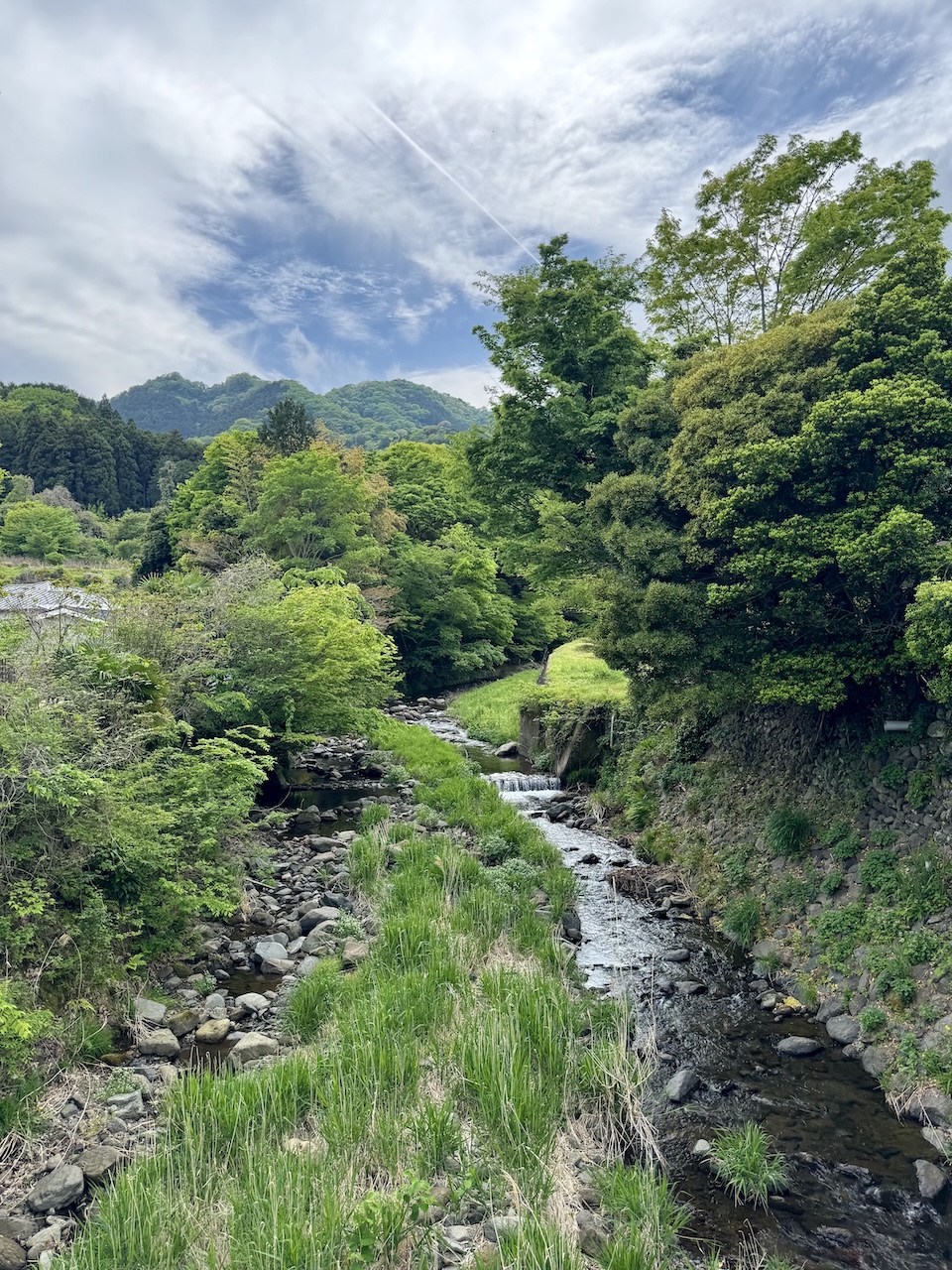
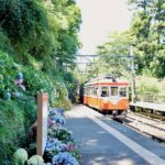
Hinata, Isehara, on Kanagawa Course 10, the Ota Dokan and Hyuga Yakushi Path
James Wedmore, The Japan Journal